
Are you looking for the updated cartography of the postal codes? UrbiStat is able to provide files in shape (shp), kml, svg, json, pdf format of ZipCodes of different States:
- Germany
- Portugal
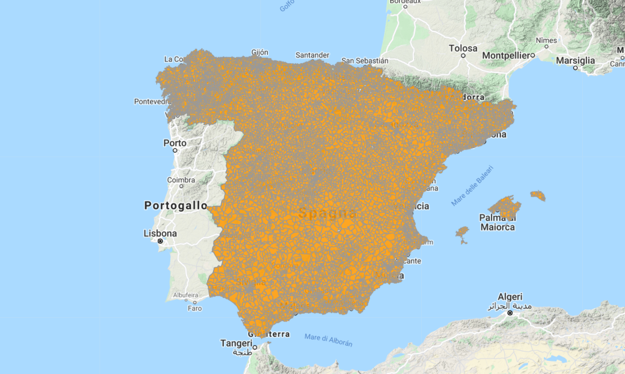
- Spain
- Italy
In Italy, ZipCodes are more commonly called CAP (or Codici di Avviamento Postale), in Spainand Portugal Códigos postales, in Germany Postleitzahlen.
The ZIPCodes are often used for geomarketing studies on the national territory. Updated information are very important to have accurate analysis.
It is possible to use the ZipCode files in various GIS software.
Contact us to find out more.
Alternatively, we can offer a subscription to the uGeo platform, in which you will already find the mapping of the ZIPcodes with the possibility of carrying out Geomarketing analyzes. For each ZIP code it is possible to have different information such as:
- population
- kmq
- families
- males / females
- foreigners
- age classes
- income
- consumption
- employment / unemployment
Contact us for a free quote.


